
Applications
Data acquired using Avaatech XRF core scanners have supported over 1500 scientific publications across fields such as paleoclimatology, sedimentology, paleoceanography, paleolimnology, geochemistry, hydrology, and environmental archaeology. Researchers use these data to reconstruct past climates, analyze sedimentary and oceanographic processes, and examine human-environment interactions. Results from the Avaatech scanner appear in leading journals such as Science, Nature and PNAS as well as in numerous specialized journals. This page highlights selected studies, detailing how the data were acquired and applied, demonstrating the scanner’s utility in generating high-resolution environmental records that underpin major advances in earth and environmental science.
XRF Scanning
This summary is based on research that was published in Nature: Hijma et al. (2025), “Global sea-level rise in the early Holocene revealed from North Sea peats.” https://doi.org/10.1038/s41586-025-08769-7
Understanding how global sea levels responded to climate warming after the last ice age is essential for improving future sea-level predictions. In a 2025 Nature publication, a team of Earth scientists reconstructed detailed sea-level changes in the early Holocene using sediment cores collected from the North Sea. These cores, many of which were processed at the Royal Netherlands Institute for Sea Research (NIOZ), helped resolve a long-standing data gap on how rapidly ice sheets melted in the past. A key part of this work relied on elemental data generated by a AvaaTech Core Scanner.
The researchers focused on sequences where peat layers, deposited on land, are overlain by marine muds, a geological boundary that records the moment rising sea levels drowned ancient lowlands, including the area known as Doggerland. Identifying these boundaries accurately is crucial for constructing what are called “sea-level index points” (SLIPs). These are fixed references that show where sea level was at a specific point in time and space.
To determine whether the transitions between peat and mud were undisturbed and suitable for sea-level reconstruction, among other proxies, the team used X-ray fluorescence (XRF) core scanning using the Avaatech Scanner. Specifically, they collected continuous, high-resolution profiles of elements such as silicon (Si), aluminum (Al), calcium (Ca), potassium (K), and iron (Fe). These elemental ratios served as geochemical fingerprints of past environments, indicating whether the sediments formed in freshwater, brackish, or fully marine conditions. Notably, they collected quantitative geochemical data for more than twenty cores with lengths of 3 to 4 meters, by using the XRF-core-scanning and calibrating it with just a few discrete samples.
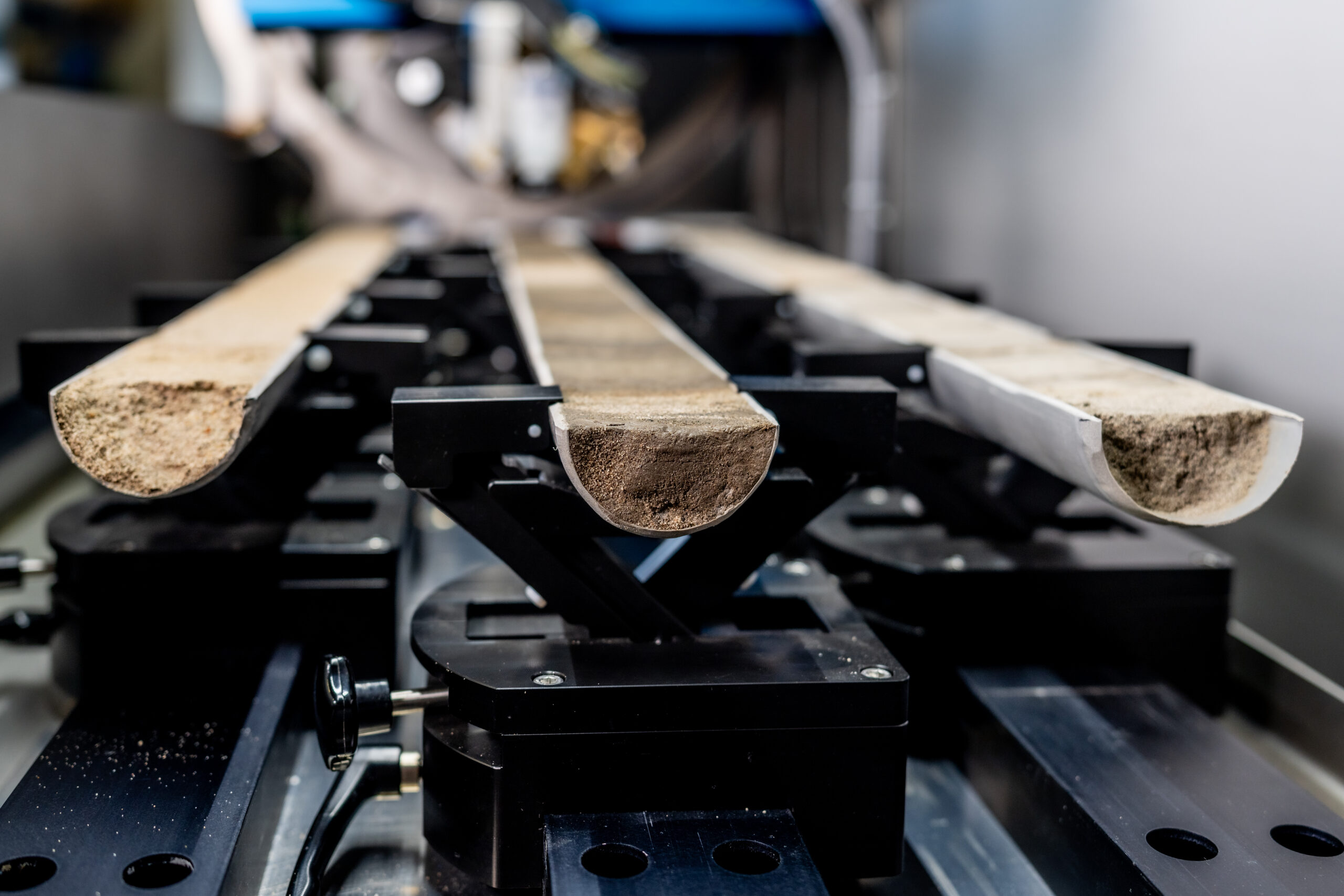
Figure: Example of Sampled sequence

Geochemical profiles from the AvaaTech Core Scanner were used to analyze the peat–mud transitions in this vibrocore segment, supporting the identification of sea-level index points.
Figure from: Hijma et al. (2025), Nature, https://doi.org/10.1038/s41586-025-08769-7, CC BY-NC-ND 4.0.
This geochemical data was critical to obtain a reliable SLIP dataset. In total, the study assembled 88 new sea-level data points, which were used to reconstruct sea level with unprecedented accuracy over the past approximately 11000 years.
The study identified two distinct phases of accelerated sea-level rise linked to meltwater input from the North American and Antarctic ice sheets, events with global implications.
This research demonstrates how robust, non-destructive geochemical scanning, enabled by the AvaaTech Core Scanner, can directly support the development of high-resolution palaeoclimate records
AvaaTech was not involved in the authorship of this study.

